May 23 to May 25 Oklahoma to Bull Shoals Arkansas
We hated to leave the peaceful Corps of Engineers camp but the East calls and we are wandering on. You forget when you live in an eastern state, that even though everyone thinks we are rural, it isn't more than a half hour to a store for groceries, bookstore etc. In the western states you can easily drive several hours before a larger city appears. The roads here are, for the most part, in much better condition and better maintained then the east. Of course there is a lot less traffic to wear them out and the freeze/thaw cycle is shorter but the roads are a joy. Another nice thing about trucking through the west are the diesel prices. We thought of our camping friend Roy often with all the signs with "Cherokee Nation" in them.


We crossed Oklahoma mainly on Route 412, a red road though we did take the interstate through Tulsa, a big sprawling city. The roads in OK are long and flat and for the most part empty except for oil trucks picking up from the little derricks which are in most every field.
We had tried calling quite a few OK and AR state parks plus Corps of Engineers to see if there were a space to be had. It's not a good thing to not have a reservation over Memorial Day weekend. Our luck hit again and Bull Shoals State Park near Flippin, Arkansas had a cancellation. The fellow who answered the phone asked if we played the lottery as he didn't believe our luck. He had just hung up from a four day cancellation. And yes there is a Flippin, AR. Gave us an extra 150 miles of driving on narrow, hilly back roads to get there but it is worth it. We've been traveling long and hard and needed "down time".
The Corp of Engineers manages the White River and the dam is huge. It's a bit disconcerting to know the state campground is on the down side of the dam. The dam releases water for power generation and all day the river rises and falls. You can tell when a release is coming as all the local fishermen move to higher ground.
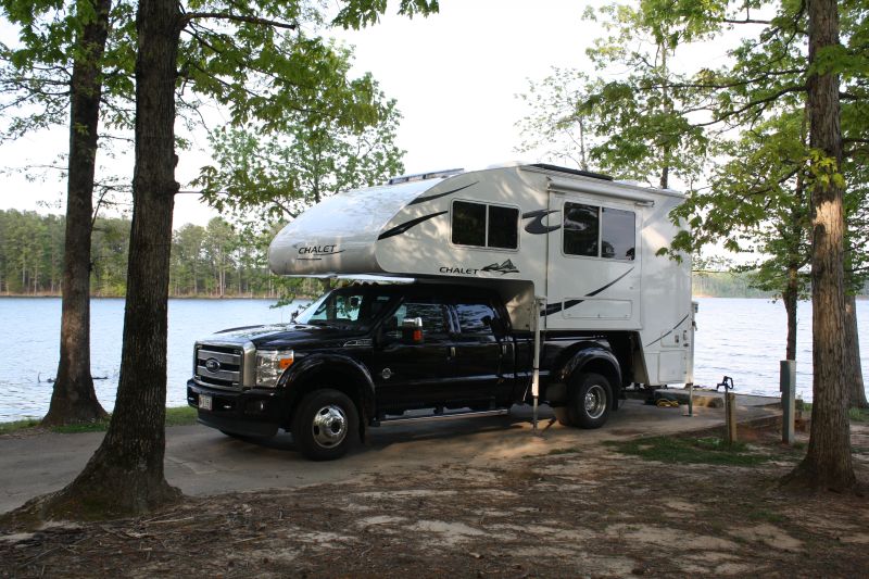
Exhausted we just crashed and slept a great night with the sound of the river beside us. The state park is one of the best we have ever been in. There are about 100 sites but spread out well, all along the river. It is immaculate and I would highly recommend staying here. A ranger told us that several years ago the state added a half cent tax which goes directly and solely to the state parks. There are 52 parks in Arkansas. Lucky citizens to have so many and so well managed.
Today, the 24th, we have mostly walked a bit around the park, not done the hiking trails back to the dam yet. I read and knitted; Joe read and had a great time talking to the local fishermen. We mostly hung around the camper doing some cleanup and maintenance, cooked and rested. Tomorrow we'll walk the trails, rest a bit more and then head east on Monday. As the temperature starts to drop, a fog starts to form on the river. It never got over 85F today and is now down to 70F. Want to bet this is a good sleeping night again?


 Barn storage
 Entry door
 Kitchen
 Kitchen with sink island
 Counter and storage drawers
 Sink Island
 Under sink
 Bathroom door
 Medicine cabinet and shower
 Storage in dry bathroom
 Right side of bed
 Storage by left side bed
 View with TV turned
 View towards front of camper
 Storage behind TV
 Dinette with under storage
 Entry cabinet and bath door
 DSI Dometic refrigerator
 Fantastic Fan
 2000K Inverter plug
 Radio/DVD/CD player
 Solar controller


